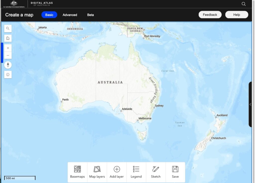
The Digital Atlas of Australia is a mapping tool provided by the Australian Government to view a wide range of datasets in a graphical format. One such use is to view the geological regions of Australia using layers which reveal the types of surface geology, timescale, and rock type.
Copy and paste this URL into your WordPress site to embed
Copy and paste this code into your site to embed