-
Coastal Landscapes of South Australia

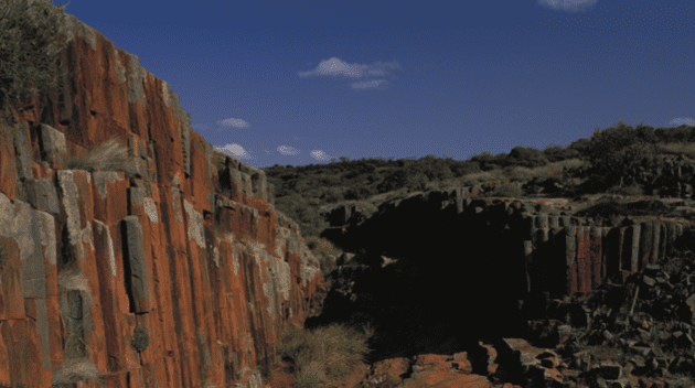
Geologically, the South Australian coast is very young, having evolved over only 1% of geological time, during the past 43 million years since the separation of Australia and Antarctica. It is also very dynamic, with the current shoreline position having been established from only 7000 years ago.
-
Bull 054: Geology of South Australia. Volume 2: The Phanerozoic
This report provides a comprehensive view of the geology of South Australia during the Phanerozoic era.
-
Bull 054 Geology of South Australia. Volume 1: The Precambrian
The Precambrian geological record of South Australia spans a period from late Archaean (~2700 Ma) to the end of the Neoproterozoic (540 Ma). Major Precambrian geological provinces are the Gawler Craton in the centre of the State, Musgrave Block and part of the Officer Basin in the northwest, Coompana Block in the southwest, Curnamona Craton…
-
Dune is a four-letter word
Dune is a Four-letter Word tells the story of Griselda and Reg Sprigg’s pioneering desert adventures – not only in the Simpson Desert but all over the vast Australian outback.
-
Bull 053 The Adelaide Geosyncline: late Proterozoic stratigraphy, sedimentation, palaeontology, and tectonics
The Adelaidian Geosyncline is a geological formation which stretches from Kangaroo Island across the Mount Lofty ranges up to the Flinders ranges.
-
Value(s): Building a better world for All
A bold and urgent argument by the Prime Minister of Canada and former bank governor on the radical, foundational change that is required if we are to build an economy and society based not on market values but on human values. Our world is full of fault lines—growing inequality in income and opportunity; systemic racism; health…
-
WordPress All-in-One Dummies
WordPress All-In-One for Dummies is a complete guide for understanding how to install the WordPress platform, select themes and plugins and begin the process of writing pages and posts.
-
Finniss votes 2026
The 2026 South Australian election is in March. Finniss is an electorate within South Australia.