
Last updated on June 17th, 2026 at 10:31 pm
Geology is the study of the changes in the Earth’s surface over a vast timescale of time, some 4.5 billion years. The main forces which shape the Earth are tectonic movement causing the shifting of landmasses, erosion from natural forces such as wind and water, and volcanic activity. It also includes climate change owing to a range of events from shifts in planetary orbit, volcanic dust, and the arrival of plant life which altered atmospheric composition. The story of the geology of the Fleurieu and specifically Mount Compass, involves all these geological forces.
During an earlier period stretching between the Proterozoic and Cambrian periods (750 to 500 million years ago), when life remained primitive, a tectonic rift known as the Adelaide Rift Complex created undersea sedimentary deposits. Towards the end of this period, mountain building processes began to push sedimentary rock upwards to create the Adelaide Geosyncline, a range of uplifted land which became today’s Mount Lofty and Flinders ranges. In the Mount Compass area, it created the basement rock made from gneiss, a very hard recrystallised sedimentary rock.
In the late Carboniferous and early Permian periods (329 to 275 million years ago), the landmasses which largely make up Australia were located just outside the southern polar circle in close proximity to what is today Antarctica. During the Permian period, the planet descended into an ice age. The glaciers carved valleys much like the fjords of Norway. The Fleurieu has examples of striated rock surfaces in Hallett Cove and in the Inman Valley caused by glaciers scraping the surface of rock. As the Earth warmed, the glaciers retreated leaving sediments in the valleys. The fine white sands in the Mount Compass and Tookayerta catchment, which are so valued for making glass, were laid down during this period. Subsequent geologic eras were responsible for reddish sands prized for use in the construction sector.
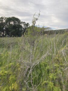
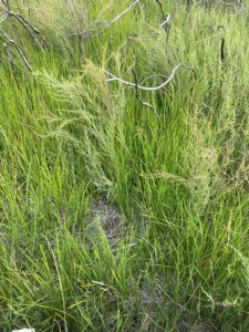
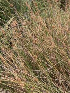
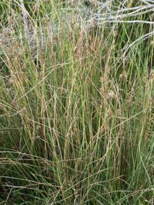
Fast forward to the Quaternary period (2.6 million years ago to present), the hilly landscape of the Mount Compass area with its bleached white sandy soils and high rainfall has created a special landscape, one which has unique woodlands such as the Brown Stringybark woodland and wetlands. Mount Compass has remnant Brown Stringybark woodlands on properties along Alexander Court as well as a wetland, the Mount Compass School Swamp, currently maintained by the school community. The high quality water supply is thanks to deep aquifers in the Permian sands. The SA Water bore draws from an aquifer which is over 200 metres deep within a deeply incised subterranean valley of gneiss.
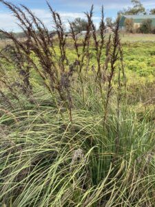
Mount compass school swamp
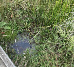
Since the 1990s, the Mount Compass and Tookayerta tributary catchment have been recognised by both the Australian and State governments as an important habitat with many unique species found nowhere else. Along with the School Swamp, the South Australian government has set aside the Hesperilla Conservation park on the Square Waterhole swamp south Mount Compass near Victor Harbor Rd and the Stipiturus Conservation Park on the Glenshera Swamp to preserve habitat for the Mount Lofty Ranges Southern Emu-wren. We are truly blessed to live in such a varied and unique landscape.
References
- Department of the Environment and Water 2025, Water security in Mount Compass,Government of South Australia, Adelaide.
- Government of South Australia 2025, Bull 054 Geology of South Australia. Volume 2: The Phanerozoic., viewed on 17 December, 2025, https://catalog.sarig.sa.gov.au/document/2018d037832. This page provides a link to download a digital copy of volume 2 of the Geology of South Australia.
- Government of South Australia 2025, Bull 054 Geology of South Australia. Volume 1: The Precambrian., viewed on 17 December, 2025, https://catalog.sarig.sa.gov.au/document/2018d037831. This page provides access to download Volume 1: The Precambrian.
- Henderson, R, Johnson, D 2016, The Geology of Australia 3rd edition, Cambridge University Press, Cambridge.
- TheMissingLibrary.com.au 2025, Brown Stringybark Woodland, viewed on , https://themissinglibrary.com.au/brown-stringybark-woodland/. This page provides information about the Brown Stringybark Woodland which dominates the central part of the Fleurieu peninsula.
- Pain, A, Shaw, R, Valentine, J 2021, Sand resources of the Mount Compass area- Report book 99/00028, viewed on 29 January, 2026, <https://catalog.sarig.sa.gov.au/dataset/rb9900028/resource/bb230cc2-a1a3-4af5-b8a1-1cea84dd7377>. This report discusses the sand resources of the purposes of sandmining in the Mount Compass area.