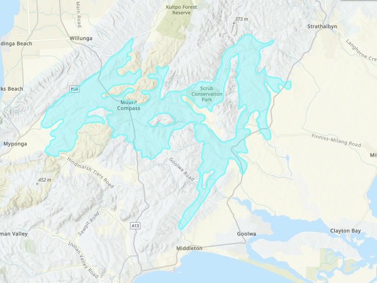
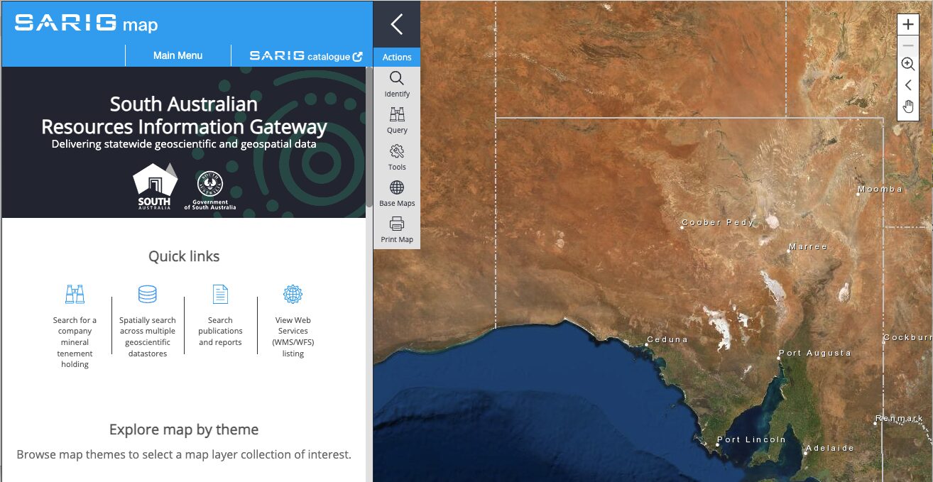
The Mount Compass area resides in a geological region defined as the Cape Jervis Formation. The South Australian Resources Information Gateway (SARIG) provides digital access to the South Australian geological information through the use of mapping tools and an online catalogue of reports.
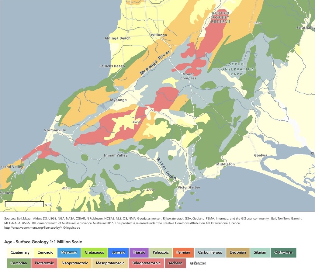
The geology of the Fleurieu is a complex composition of very ancient rock formations amidst that formed in the earliest geological times. Thanks to the Digital Atlas of Australia, this geology is illustrated graphically.
South Australian Resources Information Gateway is an online mapping tool which contains a range of information about the State’s natural resources. It is available for the general public to use to learn and understand more about the physical environment.