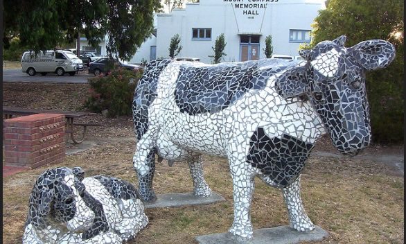
Mount Compass is located on the Fleurieu peninsula just under 50 kms from Adelaide in South Australia. It has a population of just over 1,500 inhabitants. TheMissingLibrary contains a range of posts related to topics of interest for the community as well as information about the geology, pre-European vegetation, current water security, as well as how European settlement and local economic activity has impacted the natural environment.
Geology, Soils and Water Security
Understanding Mount Compass soils
2026-06-04
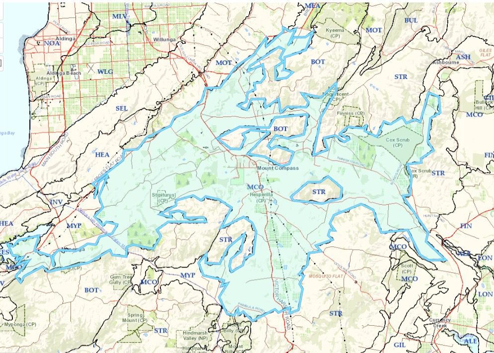
Land systems are not singular soil descriptions but identify the landscape in which a range of similar types of soils exist. Each of the soil types are referenced by a secondary three digit code indicating soil landscape units (SLUs). These units identify the aspects of the soil and other characteristics such as the land relief. In each SLU, specific two/three digit soil identifier represents a soil type.

Water security in the Mount Compass area
2026-05-08
Communities and businesses in Mount Compass rely on the Permian sand aquifers for safe drinking, industrial and irrigation water supplies. In 2025, the Department of the Environment and Water provided a factsheet on the water security, which demonstrated that the sand distribution is spread unevenly across the region with significant variation in the depth of one part of the aquifer to another.
Geology of Mount Compass
2026-04-27
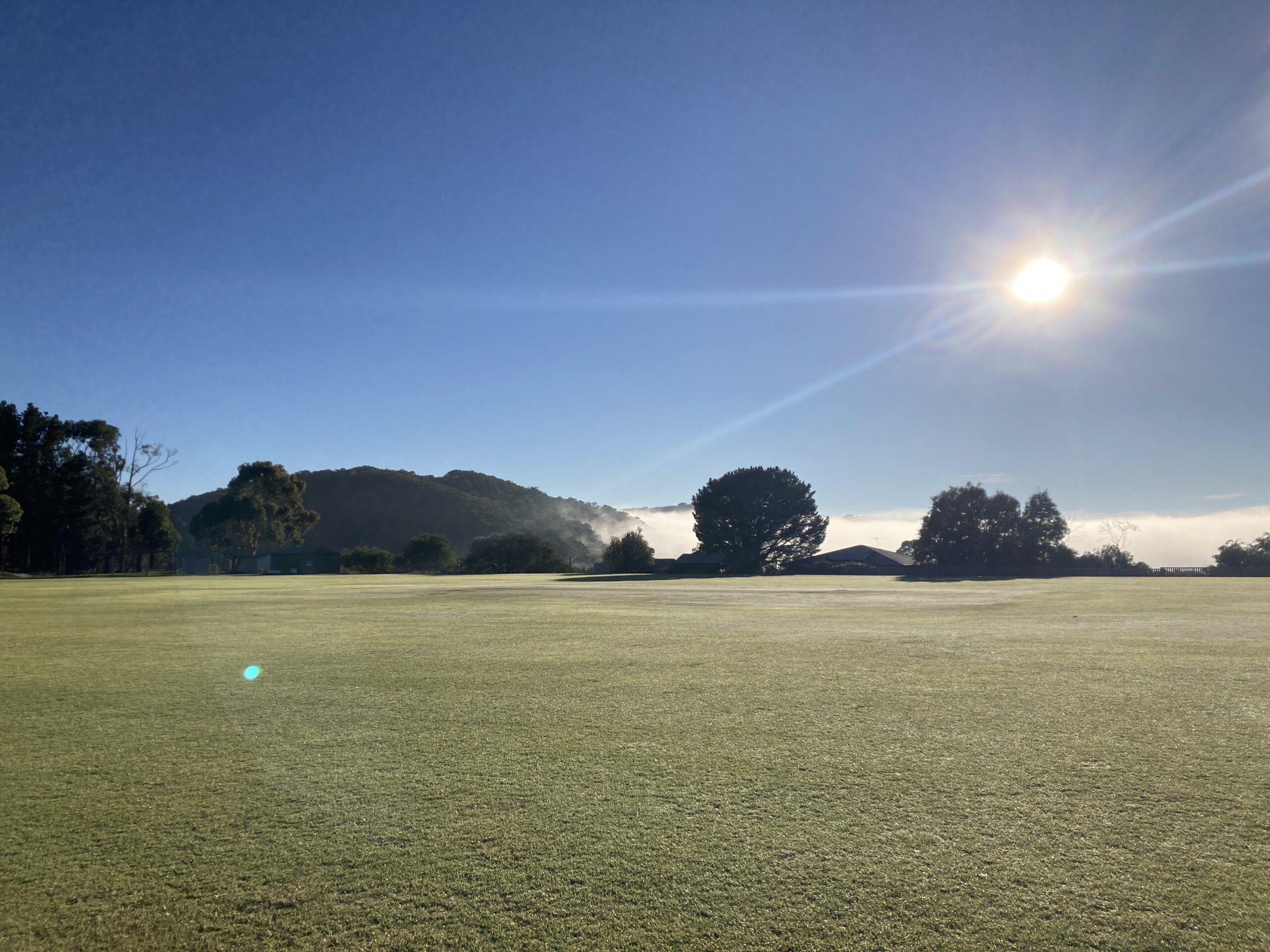
Mount Compass has an ancient geology spanning back in time some 2500 million years, including a complete glaciation in the Permian period yielding much of its present topography.
Natural Environment

Swamps of the Fleurieu Peninsula
2026-04-27
The Swamps of the Fleurieu Peninsula are localised wetlands occurring in high rainfall areas in the local catchment areas of Tookayerta, Hindmarsh, Parawa, Myponga, Yankalilla, Onkparinga, Currency Creek and Finniss. They are densely vegetated and occur adjacent to waterlogged soils around low-lying creeks and flats. The Swamps are typified by their reedy or heathy vegetation growing on peat, silt, peat silt, or black clay soils.

Pink Gum (Eucalyptus fasciculosa) Woodland
2025-06-02
Pink Gum woodlands are found in the Fleurieu peninsula. This page provides a list trees and understorey related to this woodland.

Swamp gum (Eucalyptus ovata) woodland
2025-05-27
Swamp Gum woodlands are found in the Fleurieu peninsula. This page provides a list trees and understorey related to this woodland.

Messmate Stringybark (Eucalyptus obliqua) open forest
2025-05-27
The Stringy bark Eucalyptus open forest is dominated by the Messmate Eucalypt

Brown Stringybark (Eucalyptus Baxteri) Woodland
2025-05-04
The Brown Stringybark woodland appears in south eastern Australia including in the Fleurieu peninsula of South Australia. The tree storey is dominated by Eucalyptus Baxteri, commonly known as Brown Stringybark.
European History and Land Use
Development zones in Mount Compass area
2026-10-08
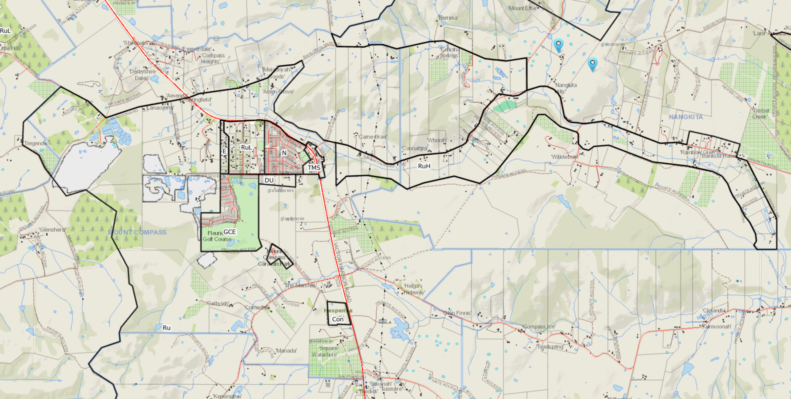
This report discusses the zones within the Mount Compass area including the Tookayerta catchment.

Identifying Fleurieu Peninsula swamps with eco-hydrological restoration potential in the Tookayerta catchment
2026-09-26
The report from Nature Glenelg Trust provides initially a historical perspective of the agricultural development of the Tookayerta catchment from the 1890s to the current times.
Chasing rainbows in the rain: A history of Mt. Compass, Nangkita, Tooperang and Yundi
2026-06-18
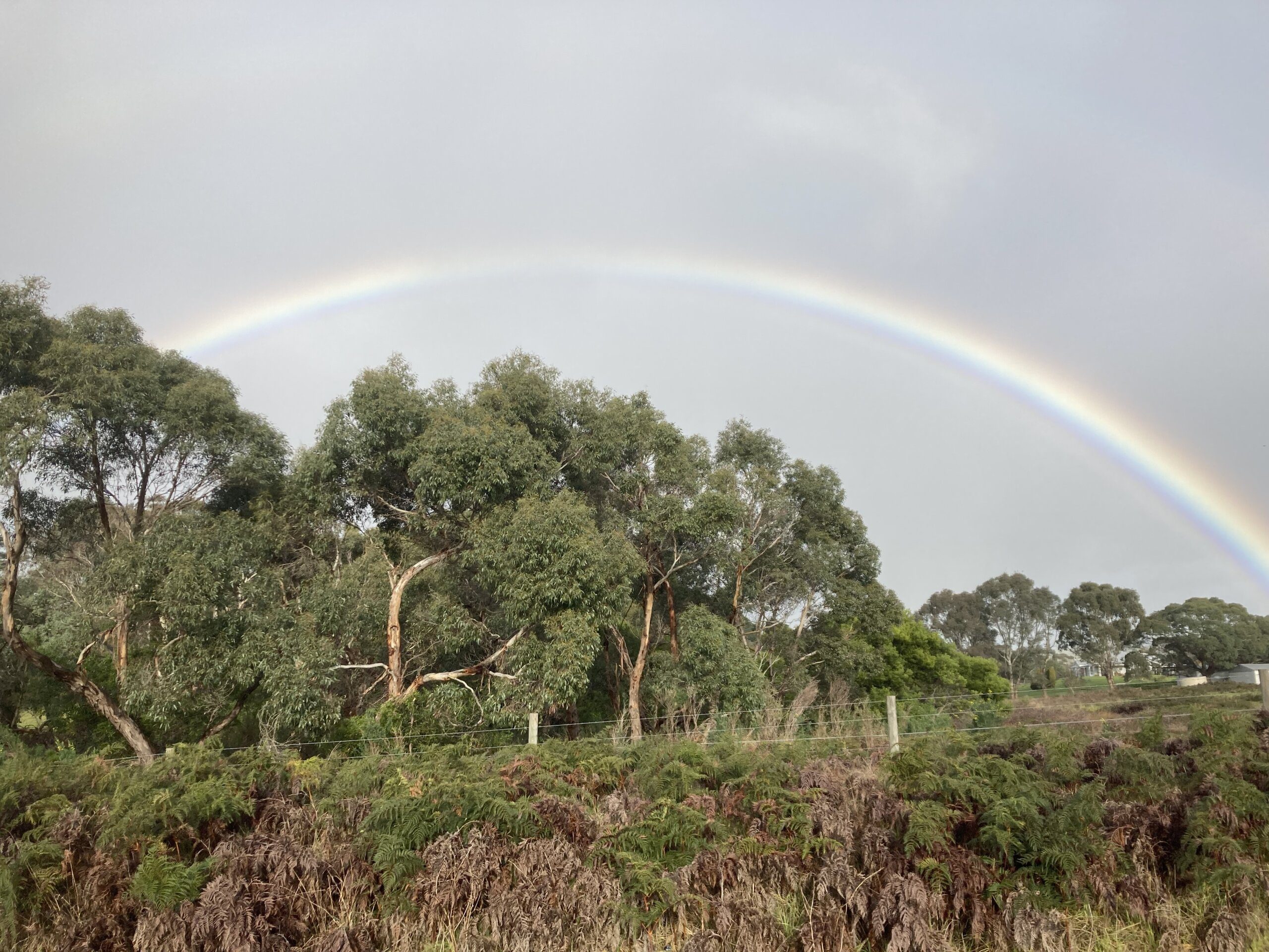
Chasing rainbows in the rain, is an extension of previous efforts to catalogue the beginnings of European settlement in the Tookayerta Creek catchment, which is also known as the Mount Compass Area.
Sandmines within the Mount Compass area
2026-02-07
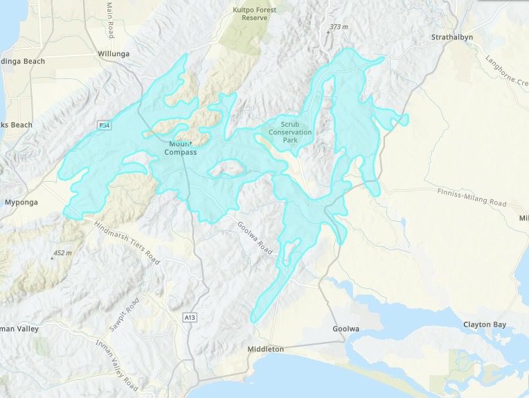
The Mount Compass area resides in a geological region defined as the Cape Jervis Formation. The South Australian Resources Information Gateway (SARIG) provides digital access to the South Australian geological information through the use of mapping tools and an online catalogue of reports.
Bushfire information for the Fleurieu
2025-11-22
SAPPA provides information which affects property development and planning. This includes alerting potential home buyers of the bushfire risk in areas of South Australia.