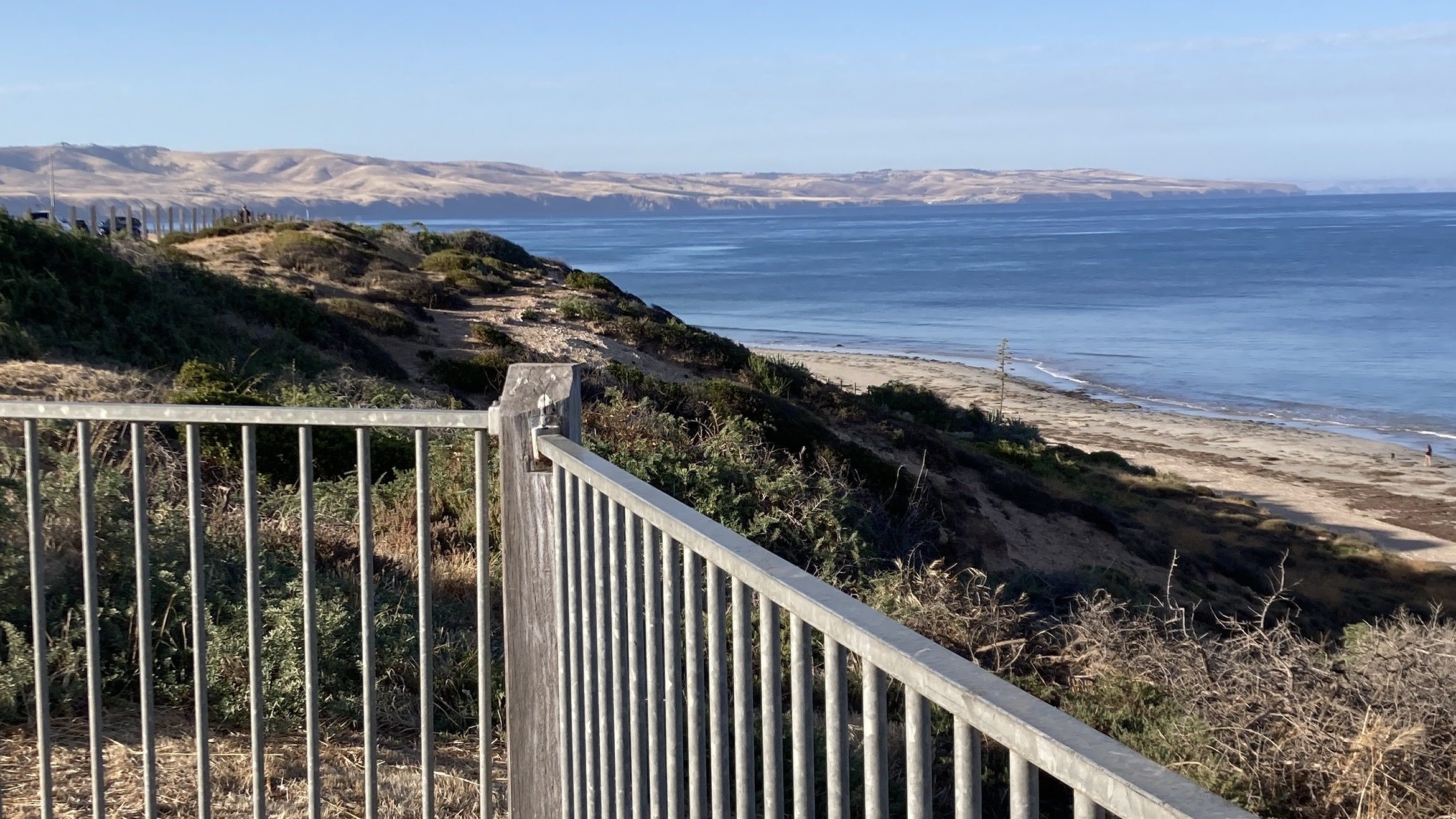
The Fleurieu Peninsula in South Australia is a generally defined, triangular region south of Adelaide, bounded by the Gulf St Vincent to the west and the Southern Ocean/Encounter Bay to the east. Its approximate boundary runs from Aldinga Beach (or Sellicks Beach) in the north to Middleton in the southeast.
The Geographical Names Advisory Committee advised in 2001 that the extent of the peninsula is: that portion of land between Gulf St. Vincent and the Southern Ocean, a line from Aldinga (southern end of Aldinga Bay) to Middleton (eastern end) being the cut-off for the peninsula. This boundary has not to be gazetted at present, and is intended to be the extent of the geographic feature only and is not to be applied to any industry or interest group regional identification. (Wikipedia | Fleurieu Peninsula).
-

Physical Geology 2nd Ed.
Physical Geology 2nd Ed. is an excellent introduction into Geology, with a specific interest in Western Canadian geology.
-
The Geology of Australia 3rd Ed.
The Geology of Australia 3rd Ed. is a primer introducing the important elements of Geology in an Australian context.
-
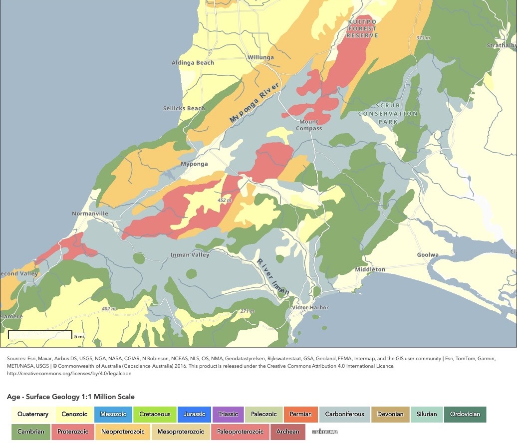
Geology of the Fleurieu Peninsula
The geology of the Fleurieu is a complex composition of very ancient rock formations amidst that formed in the earliest geological times. Thanks to the Digital Atlas of Australia, this geology is illustrated graphically.